Tour planning
Tour planning
Tour planning plays a crucial role in risk assessment as it allows selecting the appropriate destination according to current conditions - this forms the basis for a safe tour.
If you are planning a tour, there are a few things you need to consider. The preparation phase at home is largely based on assumptions and external information, so the expected conditions must always be compared on site with the actual conditions and possible adjustments must be made.
The avalanche risk for safe tour planning depends on the weather and avalanche conditions, the terrain and your own behavior. With basic knowledge of the following factors, even simple tours can be planned and behavior during a tour can be adapted to the current avalanche situation.
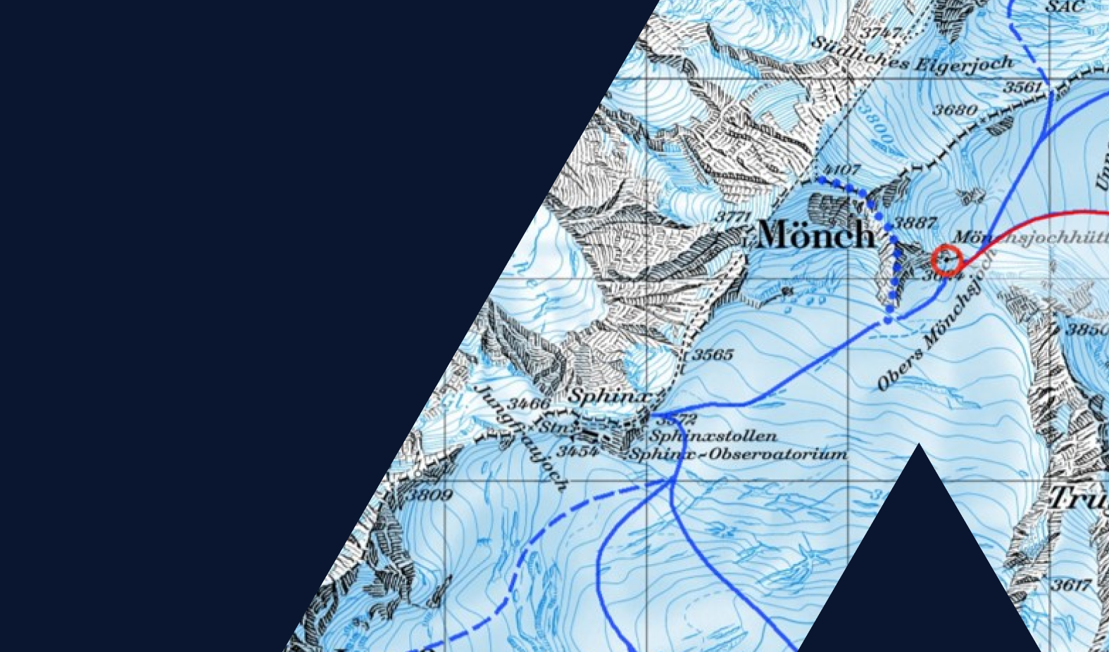
Exposure and altitude
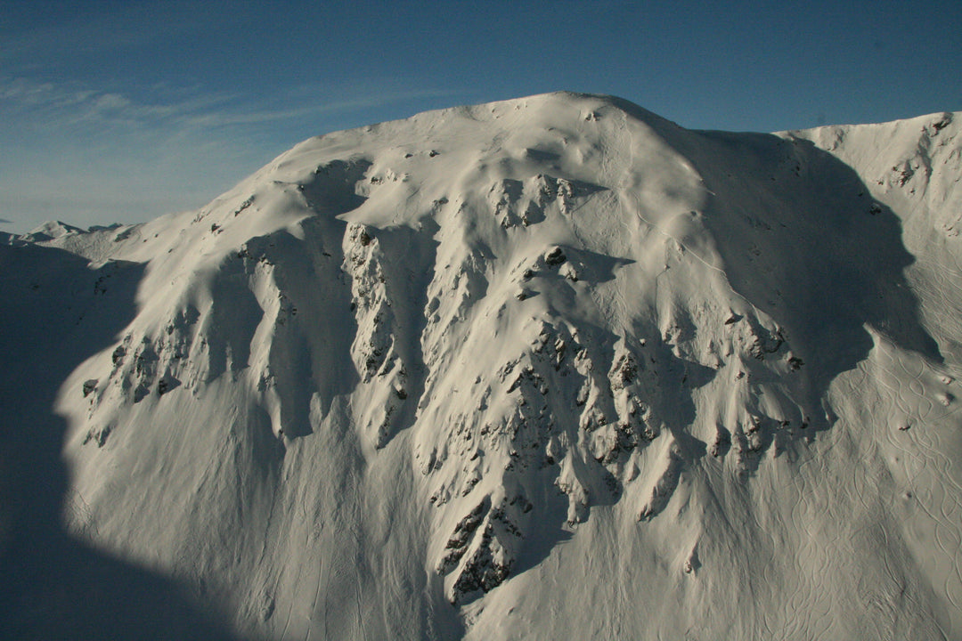
Avalanche slopes are often characterized by shade, lots of snowdrifts and proximity to the ridge. The conditions become significantly more critical above the tree line due to wind strength, decreasing temperatures and increasing amounts of precipitation. The avalanche situation report shows the current areas that are particularly affected.
Slope inclination
In principle, an avalanche is possible from a slope of 30 degrees. The steeper the slope, the more dangerous it is. The risk can be assessed by looking at the slope steepness in combination with the avalanche danger level. You can find out here which tools you can use to measure the slope.
What is the current weather report for the day of the tour (amount of fresh snow, wind, temperature)? What was the weather like the days before?
In most cases, an avalanche burial is not accidental. Spontaneous avalanches (without human involvement) are only responsible for just under five percent of burials. Your own behavior and the behavior of those accompanying you have a significant influence on the risk.
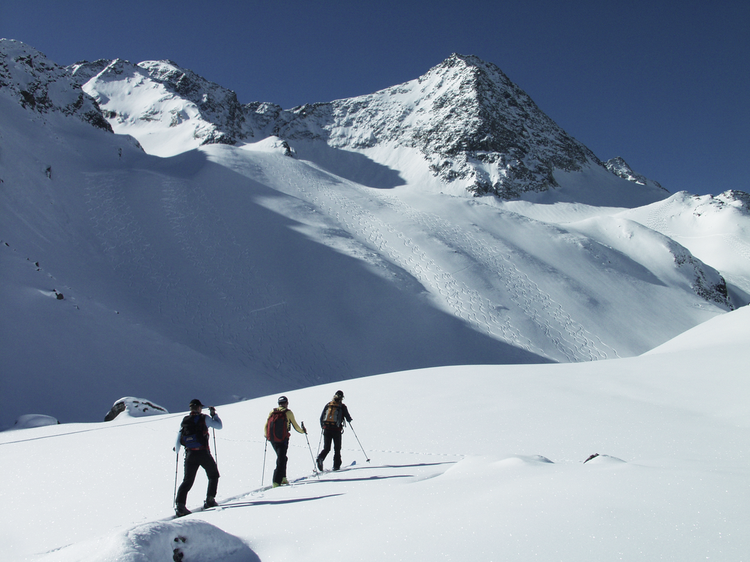
Group size
The more participants, the greater the risk of an avalanche being triggered.
Is the selected tour and planning okay for everyone involved? Are the participants up to the tour? Does everyone know what to expect on the tour?
competence
Every group member must be involved when planning the tour. The tour should be specifically tailored to the needs and abilities of the group. It should therefore be remembered: a group is only as good as its weakest member. In addition, a clear distribution of roles should be made in order to speed up decision-making processes. It is also helpful to appoint someone who will take responsibility for both planning and on site.
Nobody wants to expect the worst, but you should always keep the possibility of an avalanche in mind. For this reason, everyone in the group should know what to do in the mountains and in the event of an avalanche
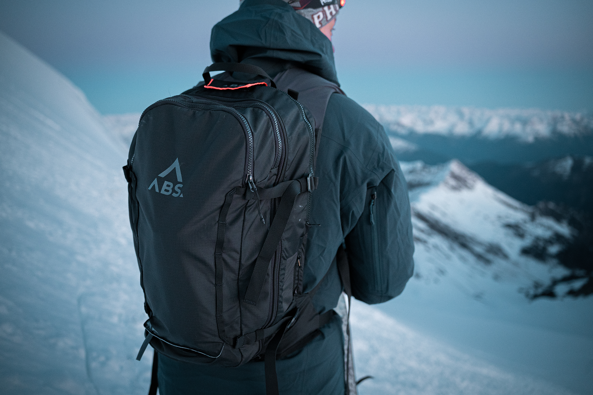
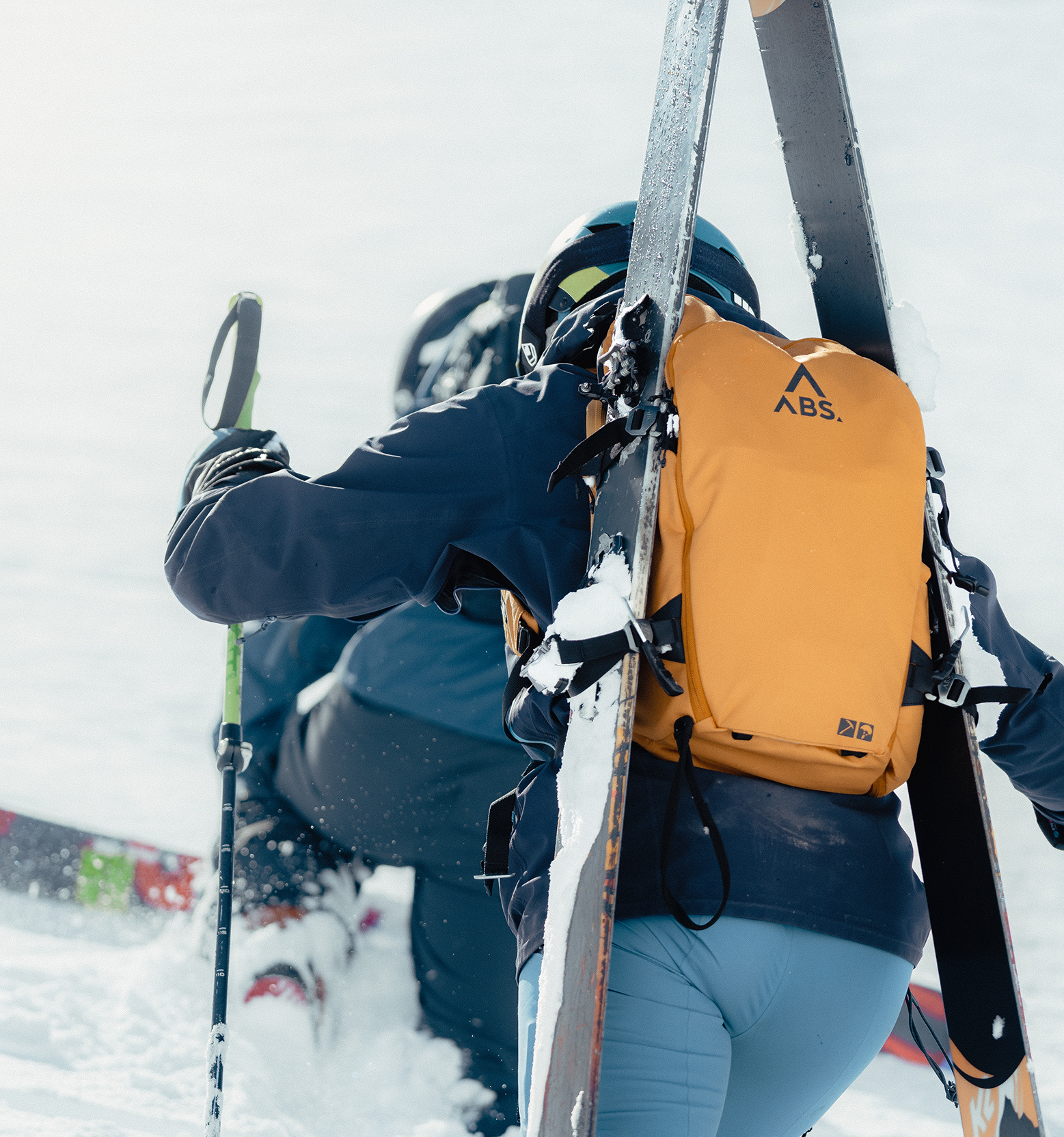
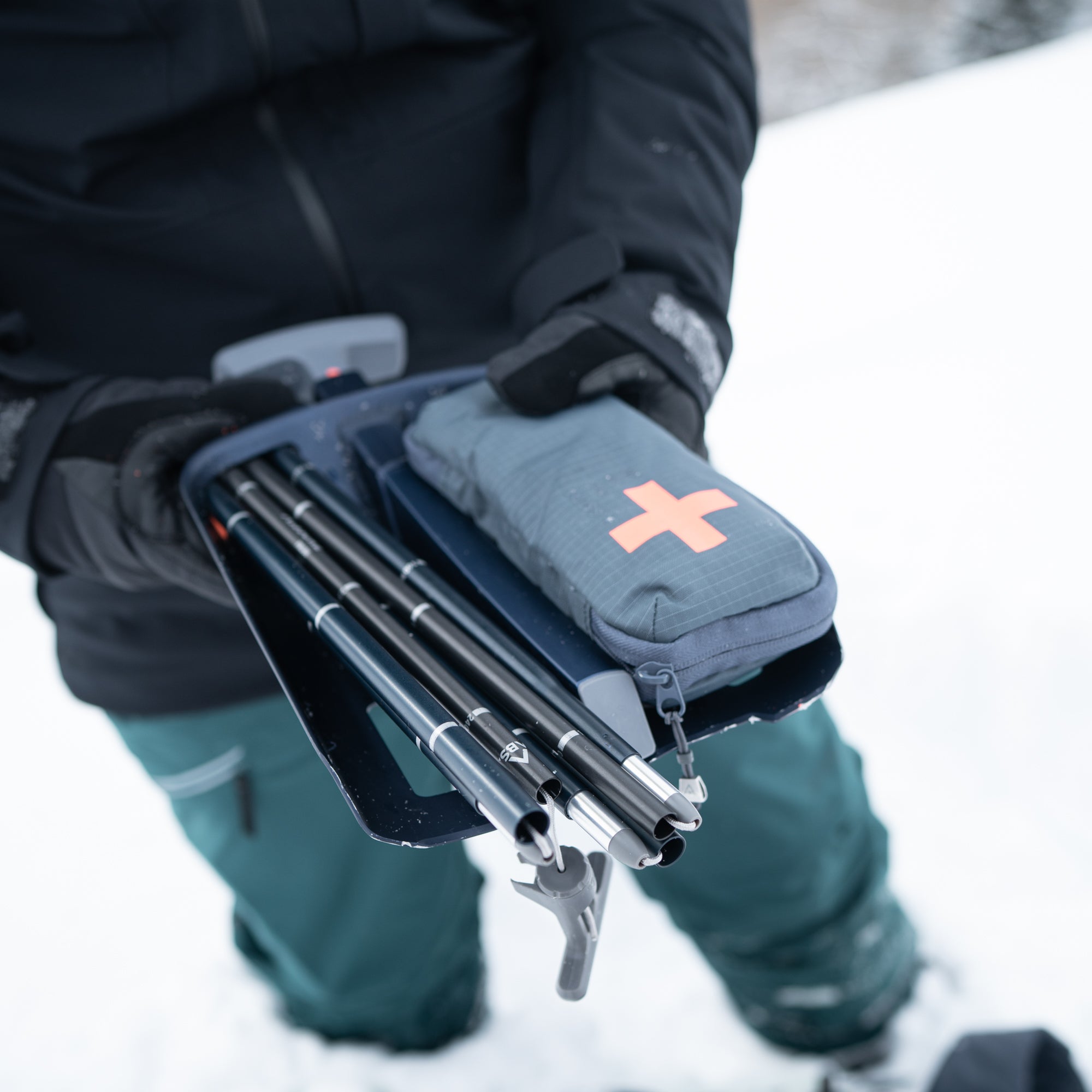
equipment
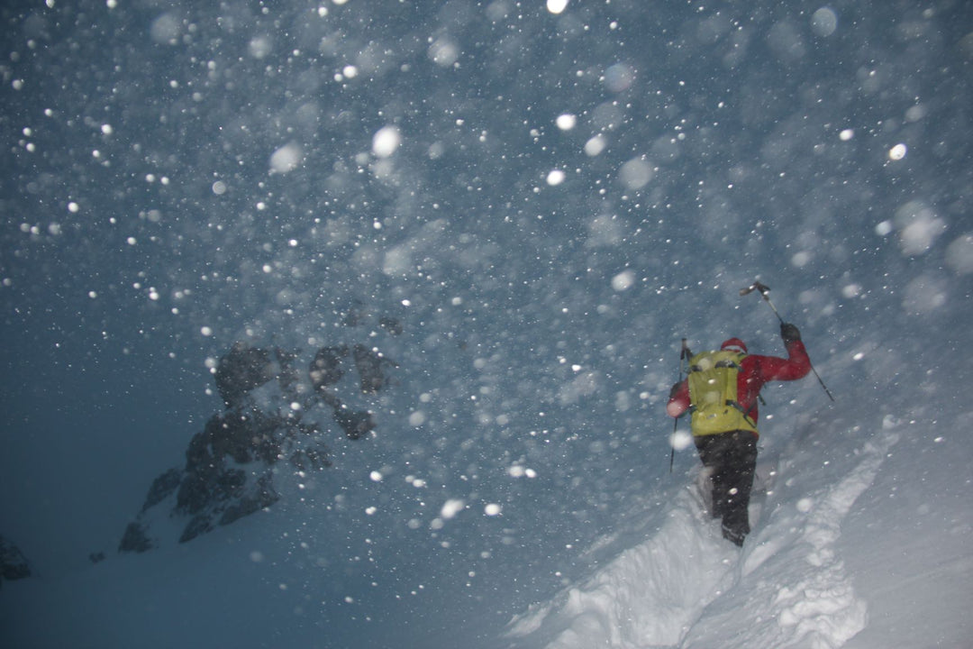
Good equipment alone will not prevent an avalanche accident, but it can greatly increase your chances of survival if you are buried. Rescuing someone in an avalanche accident is a race against time, and rescuing comrades is very important. That's why EVERY participant should have all the standard emergency equipment with them.
This consists of:
The LVS (avalanche victim search device) should always be set to “send” (function check) during the tour and should be worn on the body. Depending on the situation, it is advisable to supplement this emergency equipment (crampons, crampons, ice ax, rope).
The avalanche airbag reduces the burial depth and serves as an additional marking device.
Travel time calculation
When touring in the mountains, calculating the travel time is essential, especially in late winter when the temperatures can change throughout the day and the conditions can therefore vary greatly. During the tour you should always check whether you are still on the planned schedule or whether a shortening or termination of the tour is necessary. Distance-time diagrams or distance-altitude diagrams help visualize a route.
Rolling planning
“Rolling planning” means constantly comparing what is planned with the reality on site.
Does the planning match the actual circumstances, the timing of the tour, and the group? The tour planning must be continually checked and adjusted if necessary.
Risk reduction - GKMR method
In recent years, the steepness of a slope in combination with the danger level has been considered a decisive factor in assessing the danger of avalanches. However, there are avalanche events every year that should not have happened using this approach. Ben Reuter from SLF and Chris Semmel from VDBS have based their perspective on other factors based on the latest statistics. The 30 degree limit still applies - there are no avalanches below 30 degrees (taking into account the catchment areas). Today we know that at avalanche warning levels 2, 3 and 4, slab avalanches have exactly the same steepness distribution. Snow slips from 30 degrees and most often at 38.7 degrees - regardless of the danger level. The catchment area (assessment radius) also does not depend on the danger level, but on the snow cover.
The new scheme from Semmel and Reuter is: G -> K -> M < = > R
G: Recognize danger and assess its probability of occurrence
K: Assess consequences
M: Take action
R: Assess risk
This method can be used both when planning tours and when making decisions on individual slopes. What is new is that the consequences that an avalanche would have are assessed during the planning phase and are taken into account throughout the entire planning process. The risk of an avalanche always consists of the probability of triggering and the consequences.
At the beginning of every planning there is still the avalanche situation report. But more important than the warning level is the information about the avalanche problem. The avalanche problems are now named in all avalanche reports and visualized using symbols.
